Modernizing the Caltrans Culvert Inspection Program StoryMap

This StoryMap showcases how Timmons Group applied innovative modern day GIS techniques to a solve a challenge that many organizations of all sizes face regardless of the asset being inspected and reported on. The Caltrans Culvert Inspection Program manages hundreds of thousands of drainage related assets and needed a modern way to continue to catalog, inspect, and report on these assets. Take a look to learn about the technical intricacies Timmons Group staff used to implement the ArcGIS platform to solve this challenge.
Elizabeth River Trail Map Collection (StoryMap)

The Elizabeth River Trail Foundation (ERTF) has a long history of community engagement that has developed the mission, vision, and overall framework for the trail. This RAISE grant will be used to help fulfill this mission by creating a vision for a realistic completion of the trail. The goal is to engage community members and other stakeholders through participatory planning by giving them a say in the detailed vision for this project, while emphasizing that the purpose of this process is to bring the trail closer to completion. There will be a focus on public engagement with the neighborhoods most directly impacted/touched by the trail and a series of public workshops/design charrettes intended to build a sense of ownership within these communities.
Explore the interactive content presented in the collection of maps to learn more.
Safe Streets 4 All – Roanoke Co., Botetourt Co., & Town of Vinton Crash Analysis
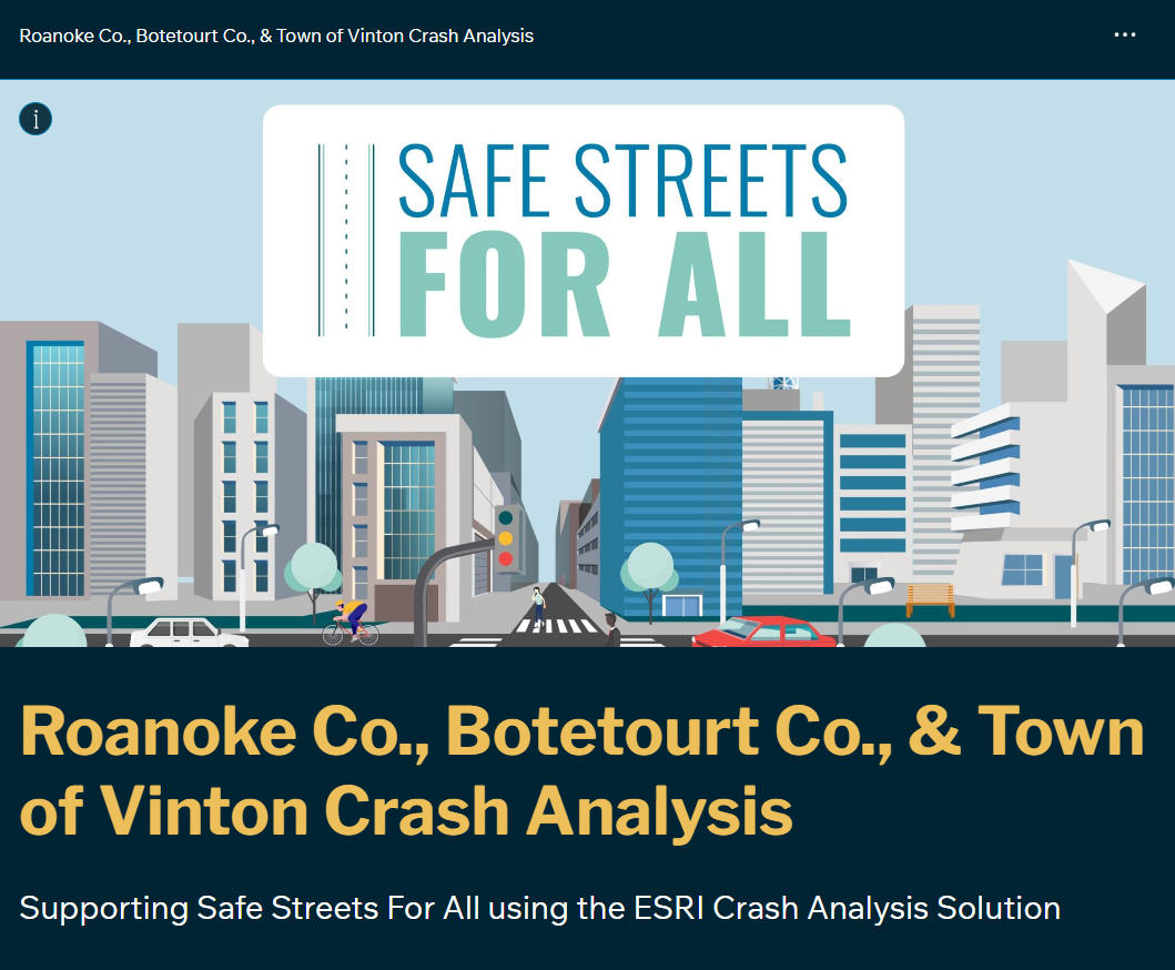
Roanoke County, Botetourt County, and the Town of Vinton were successfully awarded a grant through the U.S. Department of Transportation’s Safe Streets and Roads for All (SS4A) Discretionary Grant Program to develop a Comprehensive Safety Action Plan. The purpose of the SS4A program is to help communities improve safety by significantly reducing roadway-related fatalities and serious injuries.
This StoryMap walks through the steps of analysis and displays web maps, dashboards, and more.
